预订 预订住宿
直接预订立减 10%,代码 立减 10% · 12月1日 前入住 · 适用于 2026年12月1日 前入住
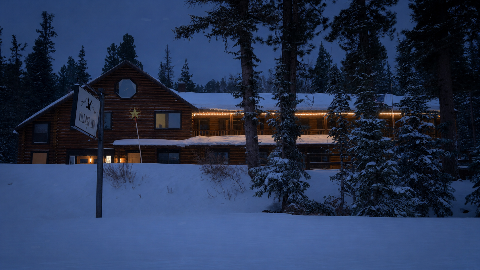
Duck Creek Village 附近 Markagunt Plateau 上的雪覆盖森林和冬季步道

玩什么

冬季步道与越野滑雪

从 Duck Creek 的山地住宿出发,安排雪鞋徒步、越野滑雪和安静的冬季森林日。

速览

Closest groomed skiing
Deer Hollow, 4 miles west on SR-14, plowed lot at 9,510 ft
Groomed mileage
About 11 of 16 marked miles tracked by the Nordic club; 23 miles on the Forest Service map
Cedar Breaks on snowshoes
Plowed SR-14/SR-148 lot 15 minutes away; Point Supreme 3.5 miles each way
Ranger snowshoe tours
Fridays and Saturdays, 10:30, 12:30 and 2:30, from the first weekend of January
Rentals
None in the village or at Deer Hollow; Brian Head or Cedar City
Reliable snow
Usually late December to mid March

Duck Creek Village 位于 Markagunt Plateau 的高海拔山区。冬季有雪时,夏天的森林道路、草甸和步道会变成越野滑雪、雪鞋徒步和安静冬季散步的选择。具体体验取决于降雪、压雪、道路清理和当天条件,所以最好的计划是先选几个候选路线,再在出发前确认道路和天气。

This is the non-motorized side of winter at Duck Creek: where to ski or snowshoe, the honest winter distance from the front door, who grooms what, where dogs are welcome and when the snow is deep enough. Sleds have their own snowmobile guide, the drive up has the winter driving page, and the whole season is on the winter guide. Before you commit a morning, read the live snow report and road conditions and look at the cams.

Three corrections to the old version of this page. Cedar Breaks in winter is reached from our side at the plowed Highway 14 junction lot, fifteen minutes west. Brian Head is an hour and a quarter away in winter by Mammoth Creek Road when that road is passable, and a 61-mile, 1 hour 35 minute drive by Cedar City and Parowan when it is not. And the Navajo Lake road is unplowed; in winter it is a groomed snowmobile route.

冬季路线选择

这些内容用于规划,不是实时路况报告。出发前请确认道路、关闭信息、压雪情况和具体规则。

  • Deer Hollow Winter Recreation Area

    压雪越野滑雪环线、雪鞋路线

    Dixie National Forest 的非机动冬季休闲区,有压雪越野滑雪环线和标记的雪鞋或多用途路线。请遵守现场标识,因为滑雪和雪鞋路线会分开标记。现场没有租赁。

    向西 4 英里(6 公里),约 10 分钟
  • Cedar Breaks(Duck Creek 一侧)

    雪鞋徒步、滑雪、冬季通行

    SR-148 关闭期间(约 11 月中旬至 5 月下旬),Highway 14 路口的铲雪停车场就是从 Duck Creek 出发的冬季起点。沿积雪的公路前行 3.5 英里(5.6 公里)可到 Point Supreme;NPS 每车 25 美元的门票冬季同样适用。

    SR-14/SR-148 路口的铲雪停车场,约 15 分钟
  • Cedar Breaks 护林员带队雪鞋徒步

    向导徒步,提供雪鞋和登山杖

    从一月的第一个周末起,护林员在周五和周六的 10:30、12:30 和 2:30 带队雪鞋徒步:约 1.5 小时、往返 1 英里,在 Highway 143 旁的 North View 游客接待站集合。通过 nps.gov/cebr 的 Eventbrite 报名;每车 25 美元的门票照常收取。视积雪情况而定。

    Brian Head 一侧,冬季约 1 小时 35 分钟
  • Duck Creek Village Snow Walks

    雪鞋徒步、冬季散步

    村庄附近道路、草甸和森林边缘在安全条件下适合短距离雪鞋或冬季散步。能见度、寒冷或脚下状况不稳时请缩短行程。

    村内或附近
  • Brian Head Area

    有服务配套的雪地日

    如果你的团队想要更接近设施,或想把高山滑雪与安静的 Duck Creek 住宿结合起来,Brian Head 是实用选择。夏季穿越 Cedar Breaks 的 SR-148 捷径在冬季关闭,因此请预留 61 英里、约 1 小时 35 分钟,经 Cedar City 和 Parowan 前往。Brian Head Sports 和 Giant Steps Lodge 提供装备租赁。

    61 英里(98 公里),冬季约 1 小时 35 分钟
  • Navajo Lake Road

    未铲雪道路,为雪地摩托压雪

    通往湖边的道路冬季不铲雪,是一条 10.9 英里的雪地摩托路线。雪鞋徒步者可以使用从 Highway 14 开始的第一段,但要与雪地摩托共用:靠边行走,听到引擎声就让开。

    路口在村庄以西 7 英里(11 公里)

Side by side

The same six places on one table, so you can match a morning to a group.

Winter trail areas from Duck Creek Village Inn
AreaFrom the innGroomingWho it suitsDogsFee
Deer Hollow Winter Recreation Area 4 mi west, about 10 min Classic track by the Nordic club; skate lane when snow allows Nordic skiers of any level; snowshoers on yellow trails Aspen, Boulder and Pebble trails only None (club takes donations)
Cedar Breaks(Duck Creek 一侧) SR-14/SR-148 lot, about 15 min Ski track on the closed road when snow allows; sleds on the marked route Fit skiers and snowshoers; 7 mi round trip to the rim Leashed, paved road and overlooks only (NPS pet rule) $25 per vehicle
Cedar Breaks 护林员带队雪鞋徒步 Brian Head side, 1 hr 15 to 1 hr 35 Ranger-led, 1 mi round trip, gear provided Families and first-time snowshoers No $25 per vehicle; tour free with registration
Duck Creek Village Snow Walks From the front door None; packed roads and an unplowed lake road Anyone with snowshoes or spikes and an hour Yes, leashed None
Brian Head Area 1 hr 15 by Mammoth Creek Road when passable, else 61.2 mi and 1 hr 35 Resort trails; Town Trail around Bristlecone Pond Guests who want rentals, lifts and a town in one day Check with the resort and the town None for trails; resort prices rentals
Navajo Lake Road Junction 7 mi west; unplowed beyond Groomed as a 10.9 mi snowmobile trail; no ski track Snowshoers who accept sled traffic Yes, kept clear of the sleds None

Winter distances; the summer shortcut over Highway 148 is gated. Grooming depends on snow depth and volunteer time.

Deer Hollow, trail by trail

The trails climb gently from the lot to two overlooks on the plateau rim, one above Navajo Lake at 9,600 feet and one over the lava field, then fan out into ski-only loops named for the rock under them: Claron, Basalt and Dolomite, with the Hollow and Sinkhole trails as the spine. The Pebble Loop beside the lot is where first-timers spend their first half hour; the Boulder Trail to the Navajo Lake Overlook is the best short outing for skiers and snowshoers alike.

Grooming is classic track, with a skate lane when the base allows, set by the Nordic club roughly weekly and reported on its website each time. The club grooms about 11 of its 16 marked miles; the Forest Service brochure counts 23, so treat the outer loops as bonus terrain. The ground is rolling, not steep, but you are skiing near 10,000 feet. The marker colours do the explaining, and our Deer Hollow guide has the full trail list.

  • Blue: skiers only The set classic track and the named loops beyond it. No boots, snowshoes, bikes or dogs.
  • Yellow: multi-use Skis and snowshoes share these; fat bikes on Boulder and Pebble. Walk beside the track, never in it.
  • Purple: Aspen Trail, skiers with dogs Built for skiers with a dog. Dogs are also welcome on Boulder and Pebble, nowhere else.

The rules that keep the track skiable

  • Blue trails are skis only: no boots, snowshoes, bikes or dogs.
  • On yellow trails, snowshoe beside the set track, never in it. Boot holes ruin a classic track for everyone behind you.
  • Dogs on the purple Aspen Trail and the yellow Boulder and Pebble trails only, under control, waste packed out.
  • Fat bikes on Boulder and Pebble only.
  • No motorized use anywhere in the area all winter; the boundary is signed.
  • No fee and no pass. The club grooms on donations, which is where the thanks go.

装备与租赁

请自带越野滑雪板或雪鞋:Duck Creek Village 和 Deer Hollow 都没有租赁。如需租赁,可在 Cedar City(Highway 14 山脚)或 Brian Head 的 Brian Head Sports 和 Giant Steps Lodge 租用,并在出发前确认库存和营业时间。机动冬季租赁请参见雪地摩托指南。

冬季步道的较好时间

冬季步道季节取决于积雪、风暴、压雪和道路通行,不只是日历。隆冬通常更适合安排雪地活动;初冬和晚冬变化更大。风暴后请先等待道路和压雪信息再确定路线。

Two NRCS SNOTEL stations bracket the village and our snow report reads both live. Midway Valley, at 9,830 feet, sits at about Deer Hollow elevation and is the one that matters for skiing; Harris Flat, at 7,800 feet, tells you what the lower highway is doing. The median first measurable snow is October 15 at Midway Valley and November 16 at Harris Flat. The typical season peak at Midway Valley is about 82 inches on the ground, and last winter the station recorded roughly 130 inches of new snow.

An October dusting is not a ski season. The Nordic club starts grooming when the base will hold a track, usually in the second half of December, and the pack is at its best from late December to mid March. By late March the open meadows go soft by noon and grooming stops, though shaded loops and the Cedar Breaks road often hold snow into April. Ranger tours wait until January for the same reason, and in a thin year the park cancels its snow programmes outright.
The season in order

  • Mid Oct Median first measurable snow at Midway Valley (9,830 ft). Pretty, not skiable.
  • Mid Nov Highway 148 gates shut; Brian Head becomes the 61-mile drive. Median first snow at Harris Flat (7,800 ft).
  • Mid Dec Deer Hollow grooming usually starts. Village roads and the pond loop pack down for snowshoes.
  • Jan to Feb The reliable window. Ranger snowshoe tours run Fridays and Saturdays from the first weekend of January. Coldest nights, shortest days, best track.
  • Early Mar Deepest pack of the year at Midway Valley. Sunglasses and sunscreen matter more than another layer.
  • Late Mar Grooming winds down as the meadows soften. The ski club report says when it is over.

Midway Valley (9,830 ft) and Harris Flat (7,800 ft) are the two NRCS SNOTEL stations that bracket the village; first-snow medians and the typical peak are computed from their archives. Brian Head in winter: 61.2 mi, about 1 hr 35 min; Cedar Breaks road closes around mid-November and reopens mid to late May.

建议携带

  • 适合路线的越野滑雪板或雪鞋。
  • 不含棉的保暖排汗层、保温层和防风外层。
  • 防水靴、雪套、手套、帽子和备用袜子。
  • 太阳镜或雪镜,防止雪面反光。
  • 水、零食和适合较长行程的保温杯。
  • 离线地图、GPS 和备用电源。
  • 头灯、基础急救用品和小型应急包。
  • 适合结冰停车区或硬雪路面的防滑装备。

Pack it the night before. The best skiing is in the first two hours of the morning, and the Deer Hollow lot fills on January weekends.

按团队能力选择路线

None of these trails are technical. What catches people is the setting. In mid-December the sun sets at 5:14 PM, and a lot that was bright at two is in deep shadow by four with the temperature falling fast. The air at 9,500 feet is thin enough that the Forest Service puts an altitude warning in its own Deer Hollow brochure: keep the first outing short and drink more water than you want to.

There is no reliable cell service at Deer Hollow or on the Cedar Breaks road, so tell someone at the inn where you are going and when you will be back. The groomed loops sit on gentle ground, but the plateau edge above Navajo Lake is steeper and wind-loaded, and the Utah Avalanche Center publishes no daily forecast for southwest Utah; off the marked trails the call on terrain is yours.

  • Daylight ends early Mid-December sunset at the village is 5:14 PM, and the Deer Hollow lot is in shadow well before that. Be back at the car by three.
  • Cold at 9,500 feet January nights at Deer Hollow elevation drop well below freezing and the Cedar Breaks rim is exposed to wind. Layers you can shed on the climb.
  • No cell service Expect none at Deer Hollow or on the Cedar Breaks road. Carry a printed map and do not rely on a phone to find the car.
  • Tell someone Leave your route and return time with the front desk. The Cedar City Ranger District answers trail questions; 911 for emergencies.

快速条件检查

Duck Creek 附近的冬季计划要先看 Highway 14、UDOT 道路信息和官方管理机构的最新说明。积雪会让同一条路线一周很好走,下一周很困难。不要假设夏季步道入口、观景点或湖边道路冬季都能开车到达。

  • 抵达前和每天出发前查看 Highway 14。
  • 使用 UDOT 查看道路状态、道路天气、摄像头和交通影响。
  • 查看 Dixie National Forest 关于 Deer Hollow 和步道规则的信息。
  • 计划 Cedar Breaks 雪鞋、滑雪或雪地摩托通行前查看 NPS 页面。
  • 如果能见度、风、寒冷或脚下状况改变,请尽早折返。

Match the trail to your group

  • 新手和家庭

    从短距离雪鞋、标记清楚的冬季区域和容易折返的路线开始。

  • 越野滑雪者

    尽量使用已压雪的滑雪环线,并尊重只供滑雪使用的轨道。

  • 雪鞋徒步者

    除非路线标记为多用途,否则不要踩入压雪滑雪轨道。

  • 有经验的冬季使用者

    森林道路和 Cedar Breaks 冬季通行需要导航、天气判断和及时折返的纪律。

Winter trail questions

The questions guests ask at the desk between December and March.

Can you cross-country ski at Duck Creek?

Yes. Deer Hollow Winter Recreation Area, 4 miles west of the village on Highway 14, has groomed classic track and a skate lane when conditions allow, set by the Cedar Mountain Nordic Ski Club from about mid-December to late March. No fee.

Is there snowshoe or ski rental in Duck Creek Village?

No. There is no cross-country ski or snowshoe rental in the village or at Deer Hollow. Rent in Cedar City on the way up Highway 14, or at Brian Head Sports or the Giant Steps Lodge in Brian Head. Snowmobiles are the exception: village outfitters rent them in season.

Is Deer Hollow groomed?

Yes, by the volunteer Cedar Mountain Nordic Ski Club, roughly weekly when snow allows. The club grooms about 11 of its 16 marked miles; the Forest Service map counts 23 miles in all. The club posts a report each time it grooms, so read that before you drive.

Can I snowshoe to Cedar Breaks from Duck Creek?

Yes. Highway 148 is gated from around mid-November to mid or late May, and the plowed lot at the Highway 14 junction, fifteen minutes west of the village, is the winter trailhead. Point Supreme is 3.5 miles each way on the snow-covered road, shared with a ski track and a marked snowmobile route. The $25 vehicle fee applies. Ranger-led tours start from the Brian Head side.

Are dogs allowed on the Deer Hollow trails?

On three trails: the purple Aspen Trail, built for skiers with dogs, and the yellow Boulder and Pebble trails to the overlooks. Not on the blue ski-only loops, and waste must be packed out. Our pet-friendly cabins are ten minutes from the trailhead.

Do I need a permit or pass?

Not at Deer Hollow: the Forest Service lists no fee and the ski club grooms on donations. Cedar Breaks charges its $25 per vehicle entrance fee in winter, and the ranger snowshoe tours need a free Eventbrite registration through nps.gov/cebr. Nothing is needed for the village walks or the Navajo Lake road.

Can I ski or snowshoe the Navajo Lake road?

You can walk it on snowshoes, but the road is unplowed and groomed as the 10.9-mile Navajo Lake snowmobile trail, so you are sharing a wide, flat road with sleds. Walk the edge, step off for engines and keep dogs close. For a quiet ski, Deer Hollow is the answer.

October 2026

出发前查看官方资源

冬季行程会受风暴、道路清理、积雪和高海拔天气影响。最终出发前,请用官方来源确认道路、森林和目的地信息。

预订你的 Duck Creek 冬季住宿

住在 Duck Creek Village Inn,把雪鞋徒步、越野滑雪、Brian Head 和安静的山地夜晚安排在同一个冬季基地周围。

直订立减 10%,代码 · 适用于 2026年12月1日 前入住 直订最优价 · 现在预订,之后付款

致电我们 · 435-990-5488